El sitio web de la UCLM utiliza cookies propias y de terceros con fines técnicos y de análisis, pero no recaba ni cede datos de carácter personal de los usuarios. Sin embargo, puede haber enlaces a sitios web de terceros, con políticas de cookies distintas a la de la UCLM, que usted podrá aceptar o no cuando acceda a ellos.

Puede obtener más información en la Política de cookies. Aceptar

remote sensing


precipitation science

we have been involved in the GPM project since 2003, and as a part of the international science team since 2009. With the launch of the core observatory in 2014, we will continue working on the remote sensing of precipitation. The addition of the new instrument to the GPM constellation will certainly open a new era of observations of one of the key environmental parameters.


vegetation

over the years, we have developed a number of tools to extract information useful for agriculture, environmental management, biomass estimation, forestry and several other applications.
   

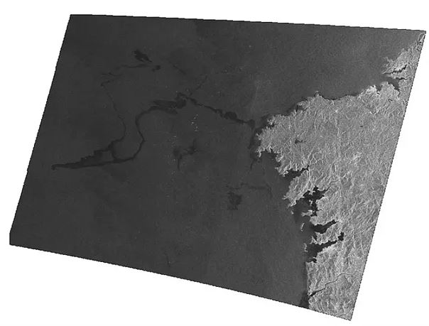
satellite monitoring

we provide processing and analysis services for a variety of satellite data and sensors, both operational and historical, including MODIS, METEOSAT, SAR, ERS, Landsat, Spot, IKONOS, SSM/I, AMSR-E, TRMM, GPM, QuickSat, WindSat, AQUA, GRACE, GOES, AVHRR, ENVISAT, etc. 
   

urban studies

earth sciences and earth physics are not limited to the study of natural phenomena. Working in collaboration with the Swiss EMPA, we developped a methodology to extract socioecomic information for satellite radiances, paving the way for further studies in what is known as 'Social Physics'.   
   

environmental modeling

we also perform geographical analyses over a variety of topic, including vegetation, landscape, infrastructures, etc. We produce models such as the one here, the Picos de Europa mountain range seen from the SW (Landsat image over DEM).